These are the first drafts/test maps i have done im happy with the outcome so far and i feel the key chart could be a good way of illustrating what is in and around theses routes. Next step make it look visually better i'm going to try 3D these maps next and make them a lot more interesting.
I used the ordinate survey map app to track my routes. These are just screen shots of the maps as they save them in a file format that a computer does not understand, but the screen shots give a spot on route taken.
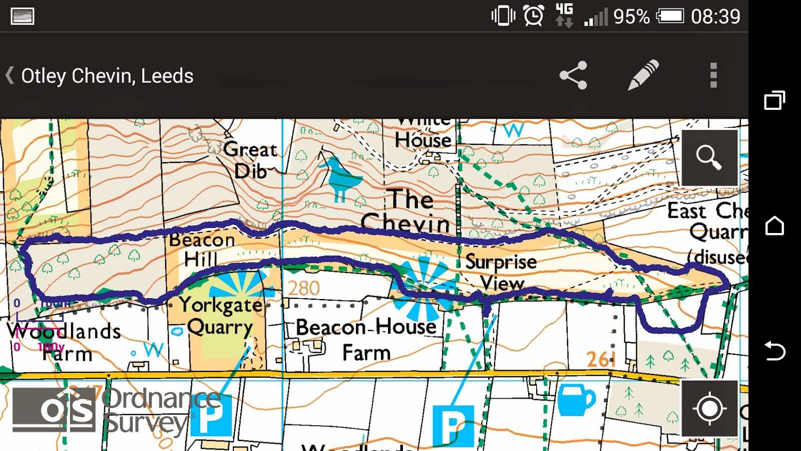 |
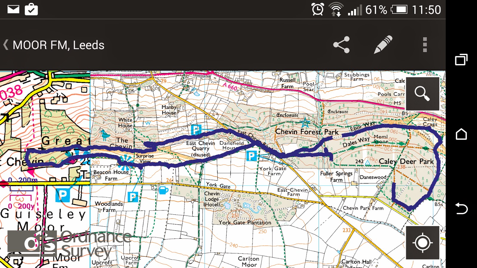
| The Chevin (surprise view) 3miles 1hour |
From the map I have have been able to translate the route to paper very easily.
I have try adding all the necessary information I have gathered and using the key added to the map, but i feel it still needs something to make theses maps a lot more interesting, I also need to be careful that I don't over do the information on the maps as this could start to get a lot more confusing then helpful.
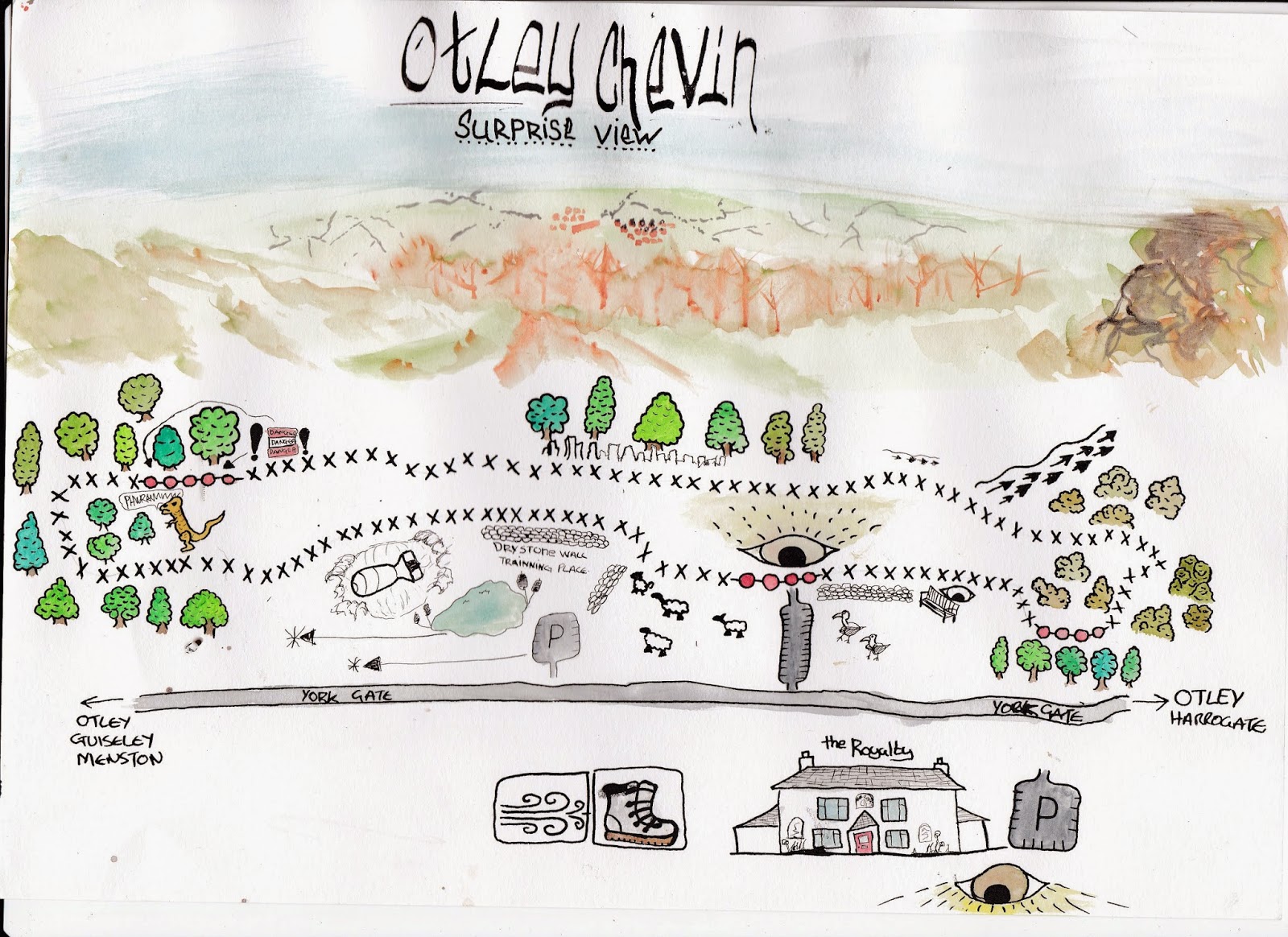 |
| First attempted at putting all the information together for The Chevin |
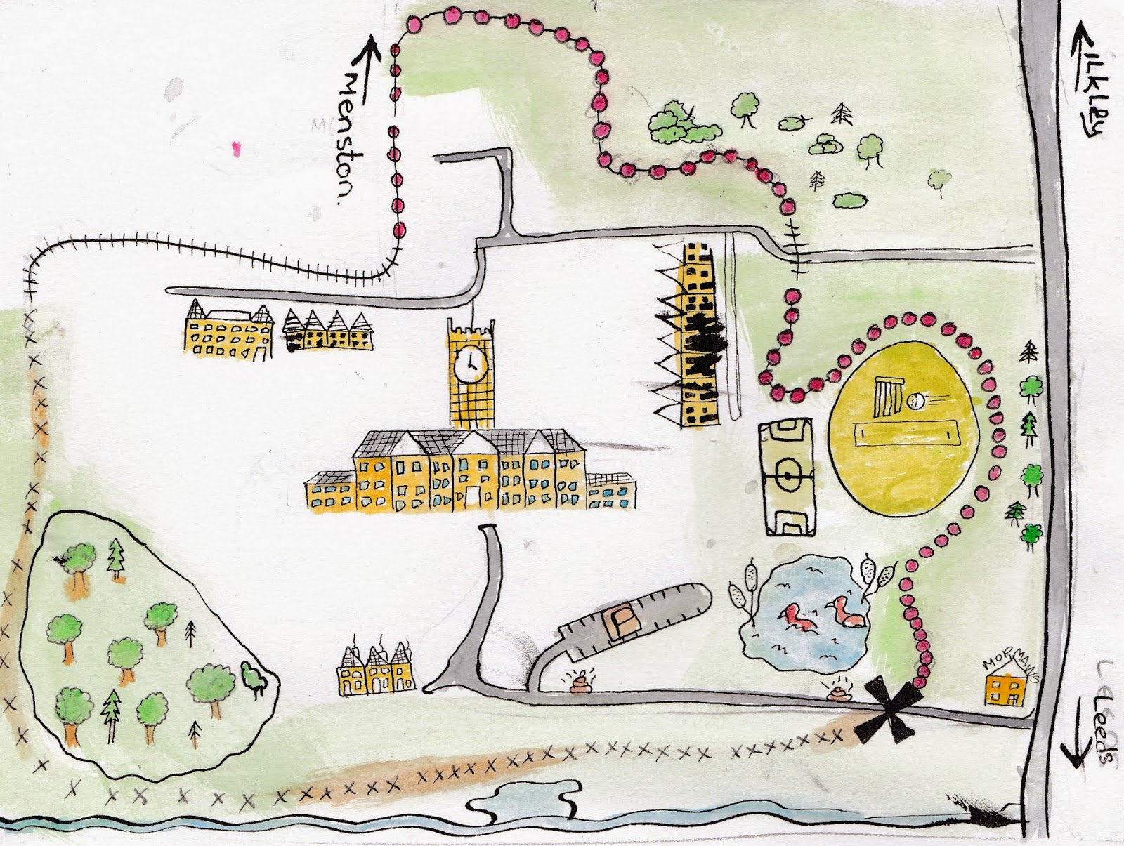 |
| Quick one for High Royds to see how the paths and key images need to work |
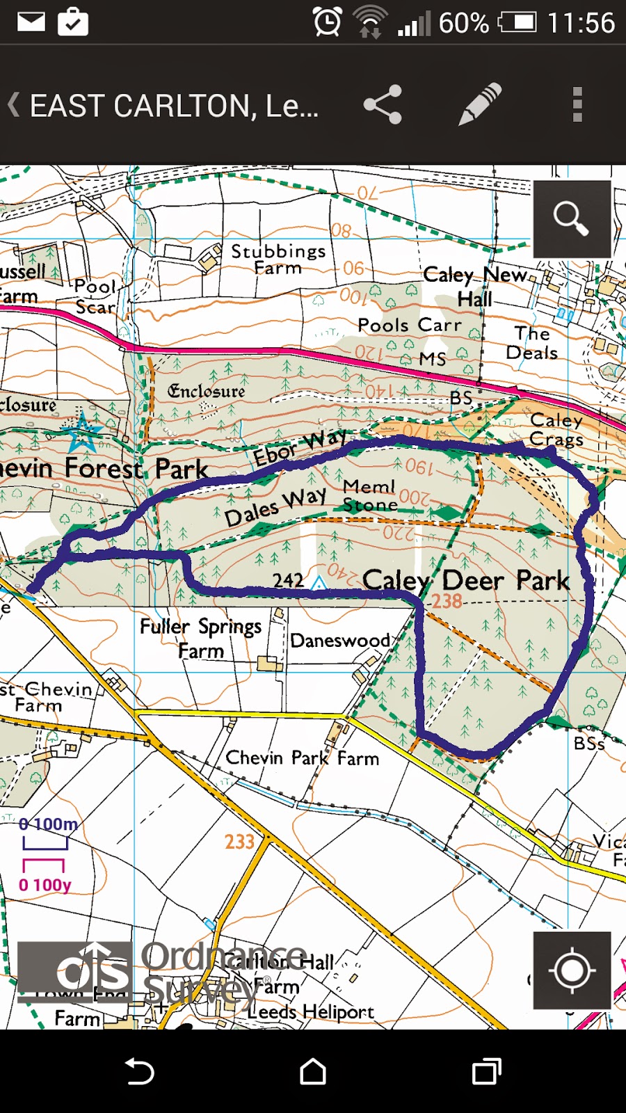 |
| Carlton Woods 3miles 1hour15mins |
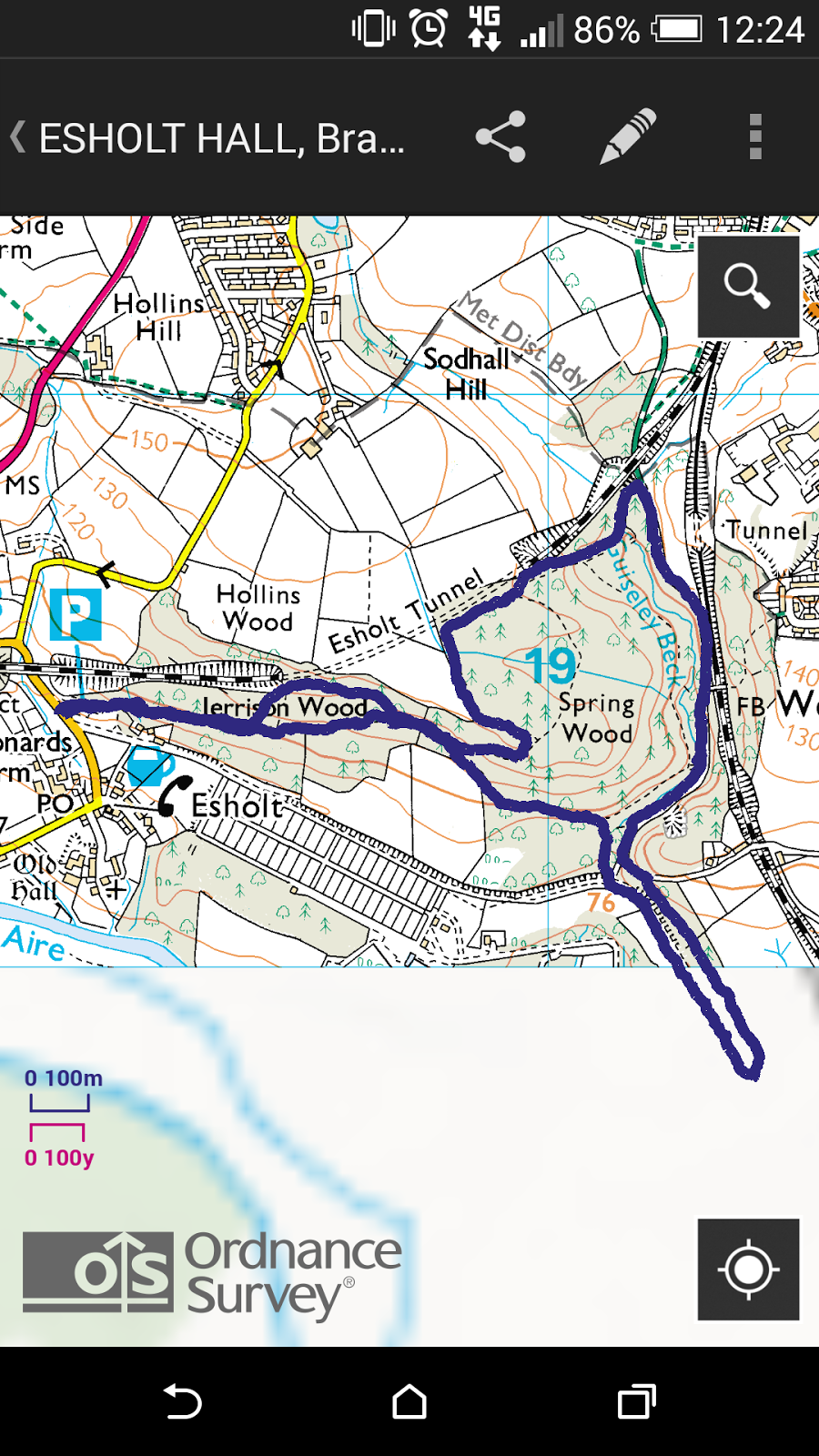 |
| Esholt Woods 3.5miles, 1hour30mins |
 |
| The Big One Chevin (surise view) and Carlton Woods 7miles, 2.5 hours In the end I decided to save on paper, pens and time and to just try and trace over the routes using Photoshop and this turned out to be a great idea. Not only did it save me time it made me realise that photoshop is not as hard to use as I have alway thought it was. So i used the pencil tool on a new layer to trace the line and this was then ready for me to build my design up from. After doing the first one this way I tried the same with the second and realized I could just use the magic wand tool to just select the route only and copy and paste it to a new layer to begin the rest of the map. |
No comments:
Post a Comment